Collaborative Mapping at Westhafen
AC-CS #31131
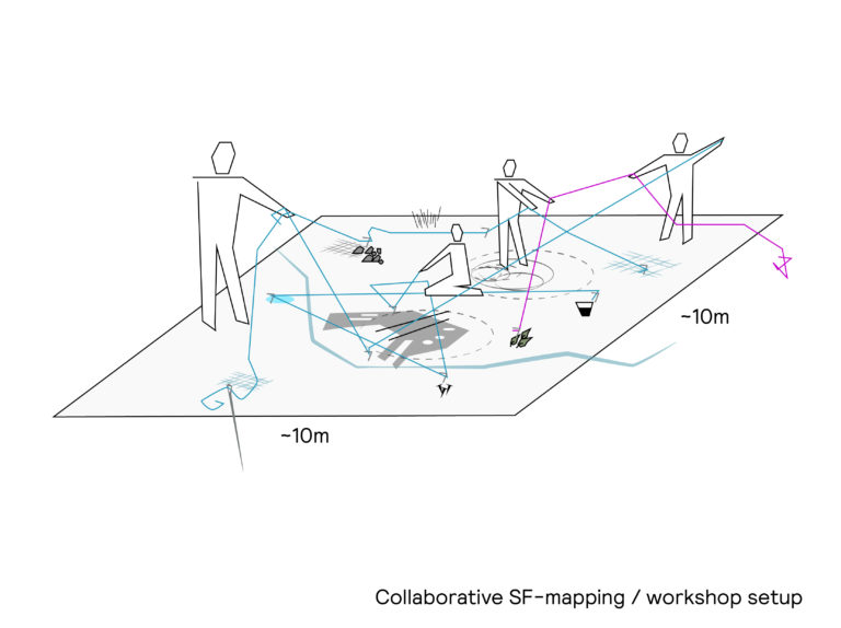
Reading Berlin’s Westhafen, the western port of the city, as a nodal point of the technosphere, this case study uses Donna Haraway’s string method (SF) to collaboratively map the urban landscape and reveal more-than-human scales and timeframes. The research asks: what happens when we question human-centered knowledge to tell the untold stories of the Anthropocene?
Read More 1 Image
String figures design sketch
Item Details

19 Images
Collaborative Mapping: Images
Item Details
pdf
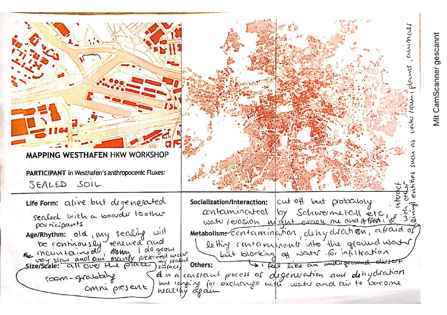
Annotated maps of Westhafen
Item Details
1 Image
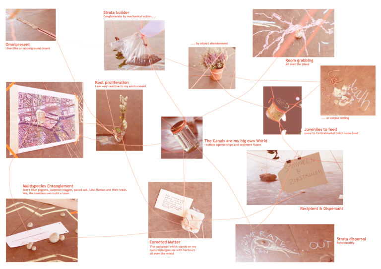
Collaborative Mapping: Found objects
Item Details
pdf
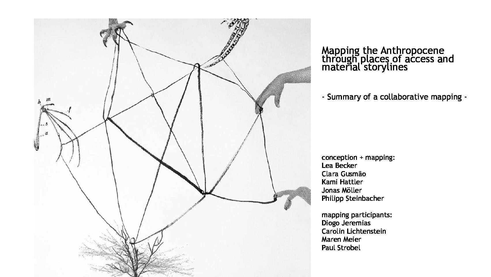
Mapping the Anthropocene: A summary
Item Details
pdf
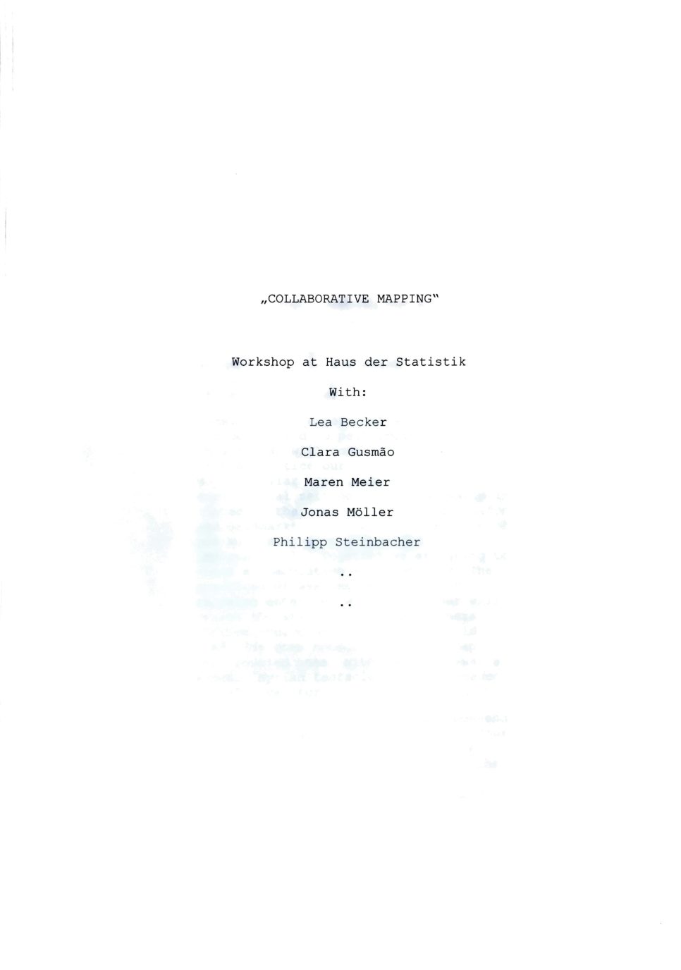
Haus der Statistik mapping workshop script
Item Details
ContactPrivacy PolicyImprint
© 2026 Max Planck Institute of Geoanthropology
Between 2013-2022 the Anthropocene Curriculum was developed by Haus der Kulturen der Welt (HKW, Berlin) and the Max Planck Institute for the History of Science (MPIWG, Berlin), in collaboration with many partners worldwide. The website archive is now maintained by the Max Planck Institute of Geoanthropology.