Searsville Lake, USA

Introduction
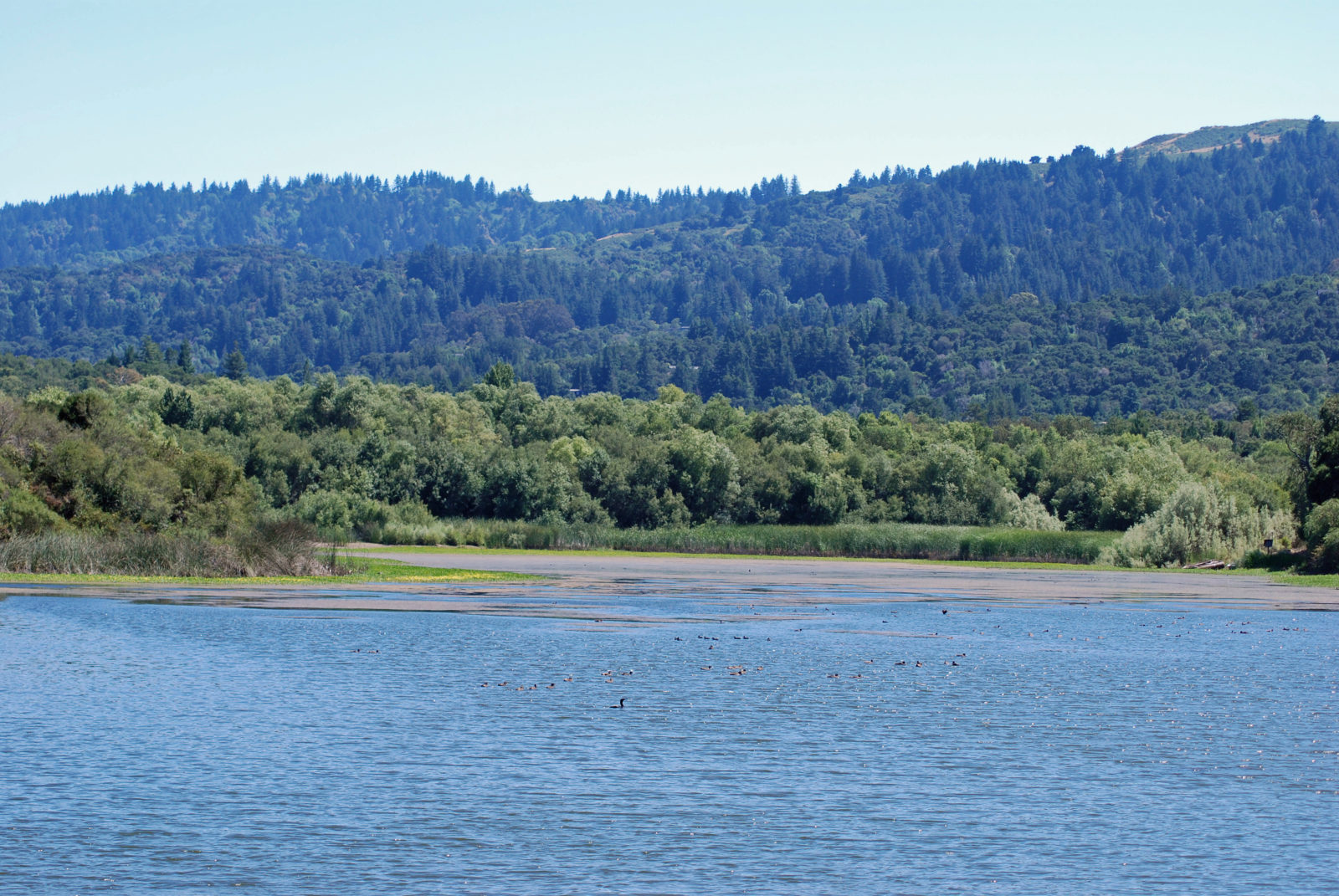
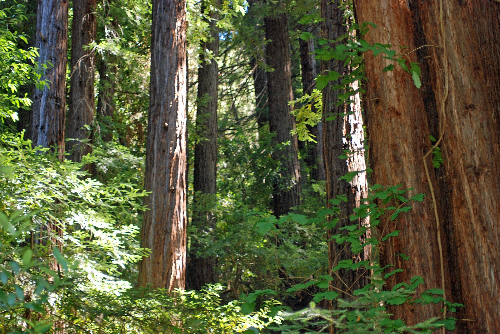
Searsville Lake sits in the eastern foothills of the Southern Coast Range in San Mateo County, California, on the Traditional Territories of the Muwekma Ohlone people. The landscape is a product of compression and tension related to earth movements along multiple faults (the San Andreas, Pilarcitos, and Searsville). Lakes and ponds are a common feature along fault zones, as depressions fill with water or stream flows are blocked. Searsville Lake is, however, a human-made water body, created by the construction of Searsville Dam in 1892. The dam was built to establish a water source for the city of San Francisco (which is around forty-five kilometers north of the site), but the water turned out to be unsuitable for drinking. However, the reservoir remains to this day. In 1919 it was acquired by Stanford University and subsequently served multiple purposes—as a popular recreation area as well as an education and research site for the university community. In 1975 recreational activities were terminated after the designation of the area as Stanford’s Jasper Ridge Biological Preserve, which now encompasses 1183 acres set aside for education, research, and conservation. Situated just seven kilometers from Stanford and the surrounding suburbs, the preserve provides important habitat for extraordinarily diverse communities of wildlife and vegetation.
The concrete dam (which is about twenty meters high and eighty-four meters wide) that created Searsville Lake was built across the narrow, steep-sided ravine of San Francisquito Creek. The catchment1 area of the San Francisquito encompasses approximately 123 square kilometers and twenty smaller creeks that carry a vast amount of sediment down from the Santa Cruz Mountains. Much of this sediment settles out behind the dam, so that over the past 130 years it has filled more than 90 percent of the reservoir basin. Without intervention, the sediment would eventually fill the lake completely, so that no water would be stored by the dam.
Stanford has been home to a “golden spike”2 long before the Anthropocene GSSP3 research started. In 1869, Leland Stanford—railroad tycoon and founder of Stanford University—commemorated the completion of the first transcontinental railroad by tapping in a ceremonial golden spike (which now can be found in Stanford’s Cantor Arts Center). This golden spike did not mark a GSSP, but the increasing industrialization and globalization it represented were part of the transformative forces that have shaped the Anthropocene.
Location of the Core
The Searsville Lake sediments provide a geological record of historical conditions in the Searsville watershed catchment,4 including changes in climate, tectonics, vegetation, and human activity. Although the intended purpose of the reservoir was for water storage and supply, it has since operated like a massive sediment trap: nature’s version of smaller (and shorter-lived) devices sometimes lowered into lakes and seas by scientists to collect sediments for analyses. Searsville Lake’s proximity to the Pacific Ocean coast (sixteen kilometers away) means that the eleven meters of sediment that has accumulated behind the dam since it was built holds global signals carried by winds coming across the Pacific, as well as local and regional signals of environmental, biological, geological, and climatic conditions. On average, lakes in the northern hemisphere accumulate 0.1–0.2 centimeters of sediment per year, but Searsville Lake accumulates a vast ~12 centimeters per year—sometimes with several centimeters accumulating in days or even hours during storms. The large amount of material that represents relatively small spans of time provides a very high-resolution archive for study, allowing scientists to observe changes at annual and even seasonal scales.
The conditions of the site vary greatly through the seasons. In summer, the water level drops as many of the contributing streams run dry and there is more fine organic matter in the water, which causes the density of the deposited sediment to decrease. In winter, heavy rains from intense storms carry more coarse material down from the mountains, and the density of the deposits increases. These seasonal differences can be cross-referenced with dendrochronological data (the archives of tree rings), radiometric data, and the dam construction date (i.e., the age of the lowest sediments) to produce a very accurate timeline of the core samples.
Around 700 meters to the southwest of Searsville Lake is a smaller, naturally formed body of water called Upper Lake Marsh (it is what is known as a “sag pond”, having been formed by tectonic forces of the underlying San Andreas Fault). A core taken from this older lake holds a record that goes back 1,500 years, which provides longer context to the approximately 126 years of data of the GSSP-candidate core.
The Core and Results
The 944.5-centimeter-long Searsville Lake core not only records traces of human actions, but is itself a product of human action: the build-up of sediment that constitutes the core would not have occurred in this location without the human-built dam. The timeframe the core documents—from about 1900 to 2018—spans the proposed Holocene to Anthropocene transition and records local, regional, and global signals of the Anthropocene. The uneven thickness of the lighter- and darker-brown fine-grained silt layers show that the rate of accumulation has not been steady, and CT scans5 of the core reveal that these differences in color represent changing densities of material—a result of the huge variance in seasonal conditions at the site.
Around 600 centimeters core depth, which corresponds to about 1940, levels of carbon, nitrogen, and spheroidal carbonaceous particles (SCPs)6 all indicate the global increase in fossil fuel combustion. At around 450 centimeters there are also increased levels of lead and mercury, as well as radioactive material (caesium-137, plutonium-239, and plutonium-240) from nuclear bomb testing. Mercury levels go from averaging around 50 parts per billion before the 1900s to 90 parts per billion after—as a result of its increased use in industrial processes—with a huge, anomalous increase to 240 parts per billion at 425 centimeters deep, coincident with elevated caesium and lead (in the mid to late 1960s).
The core records other local and regional signals, including pollen that documents logging, agriculture, and introduced species. While these markers specifically reflect local events, they are manifestations of global trends that mark the deep ways in which human actions have reconfigured the biosphere.
Collection and Analysis
Core JRBP2018-VC01B was extracted from a water depth of 2.68 meters (the deepest part of the reservoir near the dam) in 2018 using a vibracorer from a raft. The core was divided into one-meter-long (or less) sections (to fit into core scanning machines and refrigerated storage) and split lengthwise for sampling. Material from the core was subjected to the following analyses: X-Ray Fluorescence (XRF) 7scanning (geochemical), CT scan (density changes), image analysis, lead-210 dating, caesium-137, caesium-134, americium-241, plutonium concentrations and isotopes, carbon-14, stable carbon and nitrogen isotopes, lead concentrations and isotopes, SCPs, mercury and other heavy metals, diatoms,8 ostracods,9 pollen, and environmental DNA.
The Research Team
The research team consists of M. Allison Stegner, Elizabeth A. Hadly, SeanPaul La Selle, Brian Sherrod, R. Scott Anderson, Bryan Black, Anthony D. Barnosky, Sergio Redondo, and Maria Viteri. The team began coming together in 2016, when discussions within the Anthropocene Working Group (AWG) began to focus on finding suitable sites to examine as potential Anthropocene GSSPs. At the time, Hadly, Barnosky, and Sherrod had been discussing the potential of sediments in Searsville Lake to provide a detailed earthquake history, as the site lies very near the San Andreas Fault and it was known from previous work to contain a long and detailed sedimentary record. These discussions morphed into the realization that the rapid sediment accumulation rate could also archive exactly the kinds of geological signals needed to recognize the onset of the Anthropocene epoch and series. To help spearhead the project, Stegner was brought on as a postdoctoral research scientist to conduct many of the requisite analyses, and to help to build the team. Shortly thereafter, La Selle and his co-workers at the US Geological Survey in Santa Cruz, California, were added to the team to provide geological, coring, and critical analytical expertise. With successful fieldwork that resulted in obtaining several cores, it became clear that mining the wealth of information archived in the sediments required extending the team to include specialists in additional areas, and that it also offered exceptional training opportunities for students at graduate level. Accordingly, Anderson joined the team to conduct pollen analysis and Black came on board to analyze tree-ring records that could be matched with the lake sediment records to provide valuable paleoclimatic and isotopic information. Additionally, PhD candidates Redondo and Viteri took on analyses that would form part of their PhD dissertations: respectively studying mercury concentrations and accumulation pathways, and paleoenvironmental implications of the ostracod record. Through connections with the AWG and the broader GSSP project, samples of the Searsville cores have also been provided to other members of the AWG team for pertinent analyses—Andrew Cundy, Irka Hajdas, Sarah Roberts, Neil Rose, Simon Turner, and Handong Yang.
Principal investigators (listed alphabetically):
Anthony D. Barnosky, Stanford University
Elizabeth A. Hadly, Stanford University
SeanPaul La Selle, United States Geological Survey
Brian Sherrod, United States Geological Survey
M. Allison Stegner, Stanford University
Contributing Scientists/Researchers (listed alphabetically):
Scott Anderson, Northern Arizona University, Pollen
Bryan Black, University of Arizona, Dendrochronology
Andy Cundy, University of Southampton, Plutonium
Pawel Gaca, University of Southampton, Plutonium
Irka Hajdas, ETH Zurich, Radiocarbon, Dating
Sergio Redondo, Stanford University, Mercury
Sarah Roberts, University College London, SCPs
Neil Rose, University College London, SCPs
Trisha Spanbauer, University of Toledo, Diatoms
Maria Viteri, Stanford University, Ostracods
Karrie Weaver, Stanford University, ICP-MS/OES
Handong Yang, University College London, Lead-210 and Caesium
Technical and logistical assistants (listed alphabetically):
Nona Chiariello, Stanford University, Key logistics and drone photography
Peter Dal Ferro, United States Geological Survey, Coring
Steven Gomez, Stanford University, Key logistics
Trevor Hebert, Stanford University, GIS and Mapping
Kevin Leempoel, Stanford University (presently Kew), Coring and eDNA
David Mucciarone, Stanford University, Stable isotopes
Brandon Nasr, United States Geological Survey, Core collection, scanning, and sediment description
Daniel Powers, United States Geological Survey, Coring
Simon Turner, University College London, SCPs
Volunteers (listed alphabetically):
Kelly Chauvin, Stanford University, Coring
Tanvi Dutta Gupta, Stanford University, Historical data collection
Lucy Edy, Stanford University, Historical data collection
Mary Ellen Hannibal, Independent scientist/researcher, Coring
Avery Hill, Stanford University, Coring
Kate Lagerstrom, Stanford University, Coring
Jordana Meyers, Stanford University, Coring
Simon Morgan, Stanford University, Coring
Olivia Partamian, Stanford University, Core sampling and sediment description
Lucas Pavan, Stanford University, Coring


This article is distributed under the terms of the Creative Commons Attribution-NonCommercial 4.0 License (https://creativecommons.org/licenses/by-nc/4.0/) which permits non-commercial use, reproduction and distribution of the work without further permission provided the original work is attributed as specified on the SAGE and Open Access page (https://us.sagepub.com/en-us/nam/open-access-at-sage).
- “An Anthropocene archive in Searsville Reservoir”, Jasper Ridge Biological Preserve Blog
“Geological signals of the Anthropocene in sediment cores from Searsville Reservoir”, Project Description
Hadly Lab website
Jasper Ridge Biological Preserve website
Hersher, Rebecca and Madeline K. Sofia. 2021. “Debating when the ‘Age of Humans’ began.” NPR Short Wave. https://www.npr.org/2021/04/09/985805444/debating-when-the-age-of-humans-began
Stegner MA, La Selle S, Sherrod B, Barnosky AD, Hadly EA. 2019. “An extraordinary record of Anthropocene stratigraphy from the San Francisco Peninsula, California, USA.” American Geophysical Union, San Francisco, CA.
Stegner MA, La Selle SP, Sherrod B, Barnosky AD, Hadly EA. 2021. “Dynamics of biotic and abiotic markers of the Anthropocene at Jasper Ridge Biological Preserve, California, USA.” European Geophysical Union Meeting. https://doi.org/10.5194/egusphere-egu21-6685
Subramanian, Meera. 2019. “Humans Versus Earth: The Quest to Define the Anthropocene.” Nature 572 (7768): 168–70. https://doi.org/10.1038/d41586-019-02381-2.


